(NOTE: Use Control + to enlarge images.”
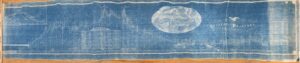
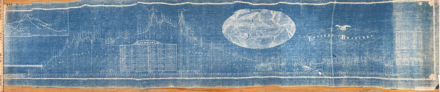
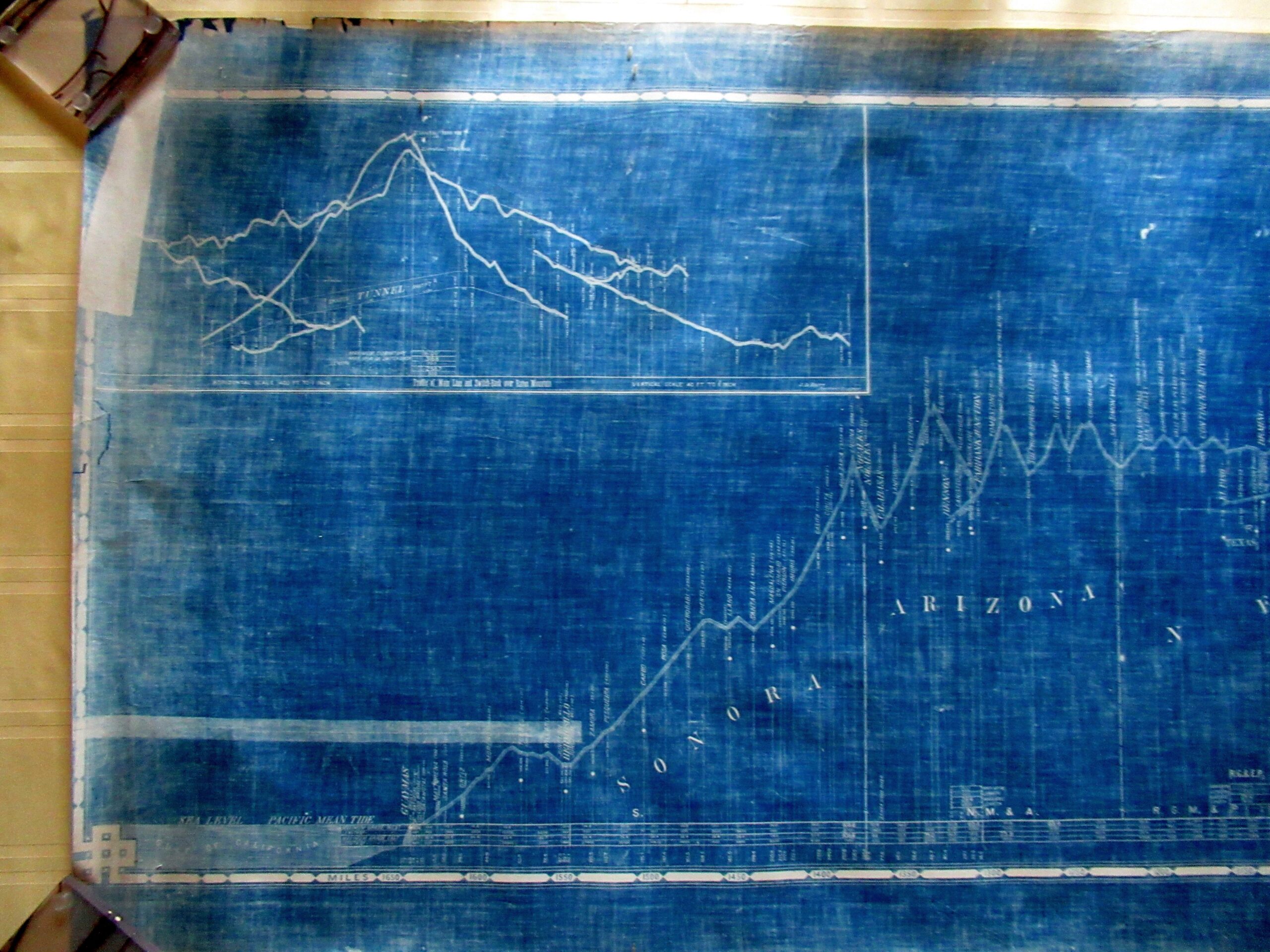
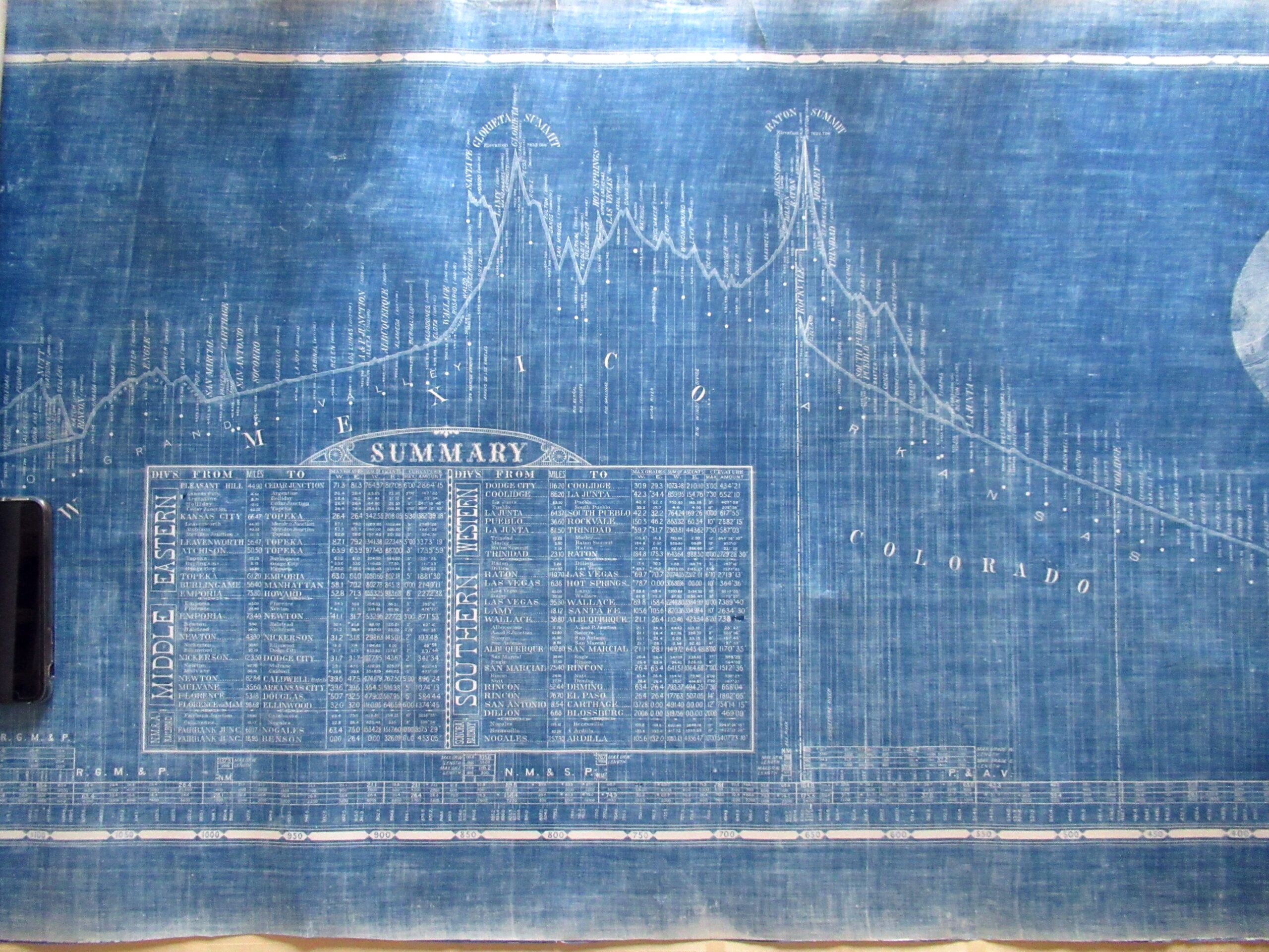
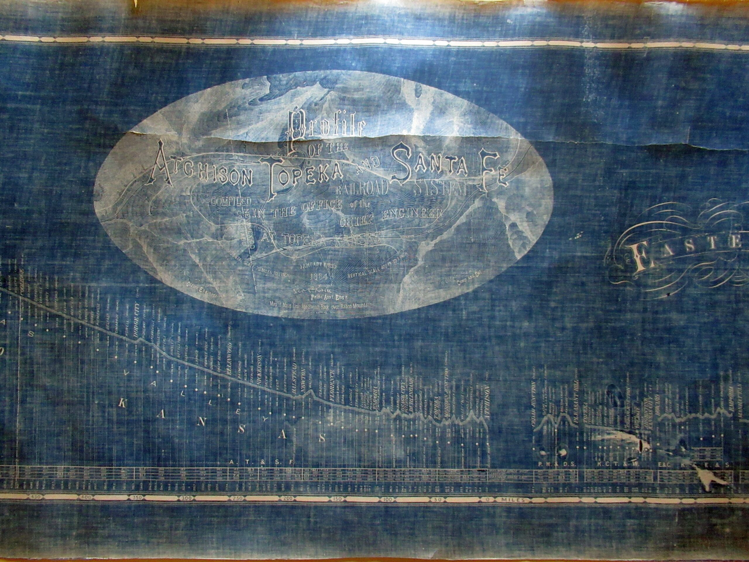
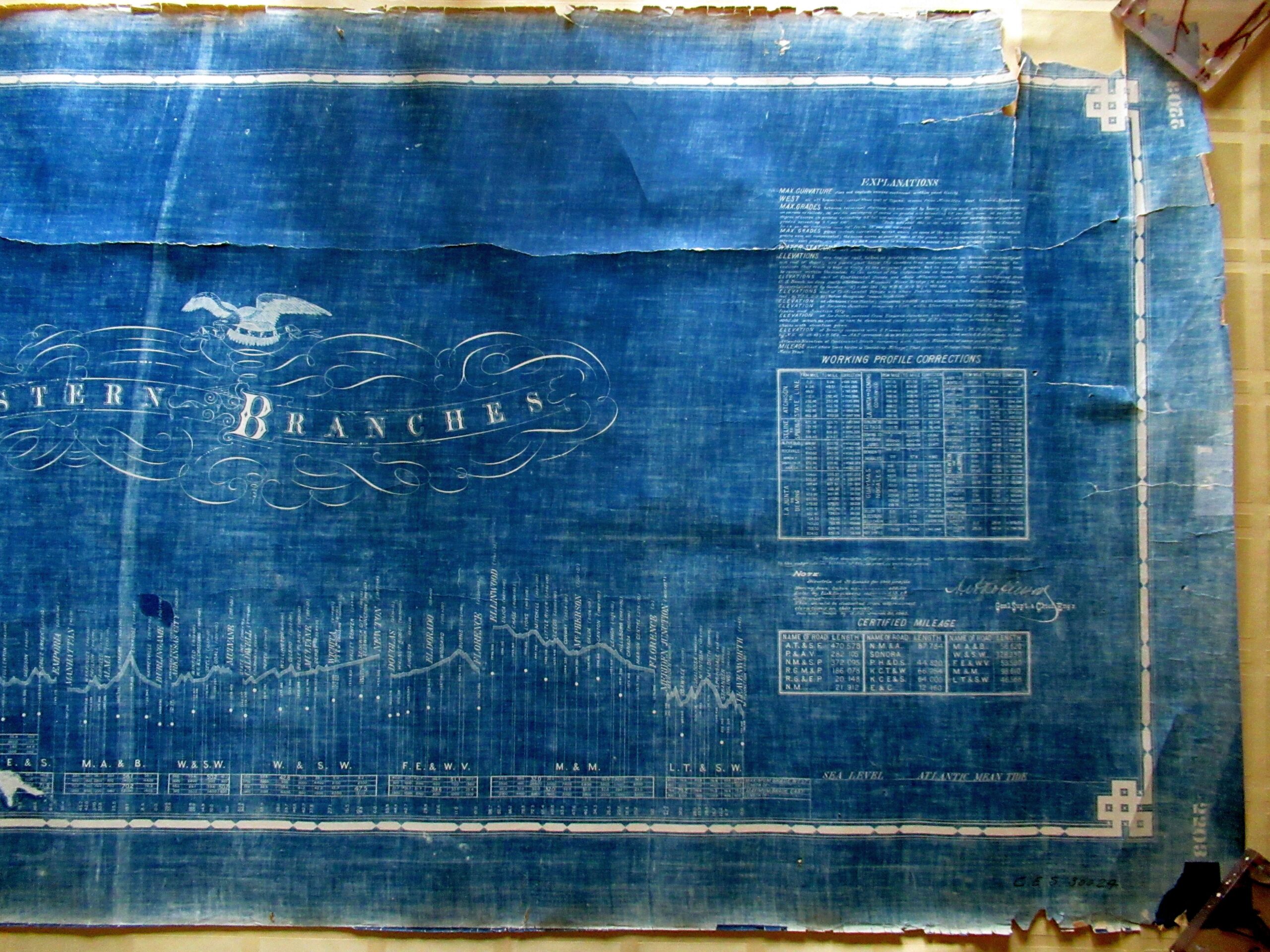
11′ 6″ X 28″ blueprint showing the topographic profile of the A.T.S.F.R.R. with the miles from Atchison to the west cost of California and Mexico. Elevations are noted. To the right of the title are seen the high peaks of the New Mexico mountains. The original drawing from which the blue print was made was dated 1884.